Humminbird CoastMaster Premium Northeast Coastal V1 handleiding
Handleiding
Je bekijkt pagina 11 van 16
11
D H B L D L
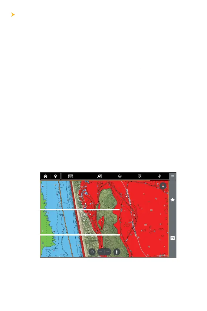
Boat Lane Depth Labels indicate the approximate depth of the water
recorded by Humminbird and adjusted as closely as possible to Mean
Lower Low Water with the data available (see Understanding Boat
Lanes).
Positive Depth Labels indicate a drying area and will be underlined and
in parentheses. For example, a depth label of (3) indicates a dry area
that is estimated to be three feet above water at MLLW. Segments of a
Boat Lane at a positive or unknown depth will also be indicated by a red
dashed line outlined in black.
You can turn Boat Lane Depth Labels on or off.
1. From the Chart X-Press Menu, select Settings.
2. Select Chart Objects.
3. Select Navigation.
4. Select Boat Lanes.
5. Select Boat Lanes Settings.
6. Under Depth Labels, tap the check box, or press the ENTER key to
show or hide depth labels.
positive
depth
label
depth
label
Bekijk gratis de handleiding van Humminbird CoastMaster Premium Northeast Coastal V1, stel vragen en lees de antwoorden op veelvoorkomende problemen, of gebruik onze assistent om sneller informatie in de handleiding te vinden of uitleg te krijgen over specifieke functies.
Productinformatie
| Merk | Humminbird |
| Model | CoastMaster Premium Northeast Coastal V1 |
| Categorie | Niet gecategoriseerd |
| Taal | Nederlands |
| Grootte | 3534 MB |


